Remote sensing can show canopy changes, but it cannot prove who applied inputs, where they were used, or whether the work was executed as claimed.
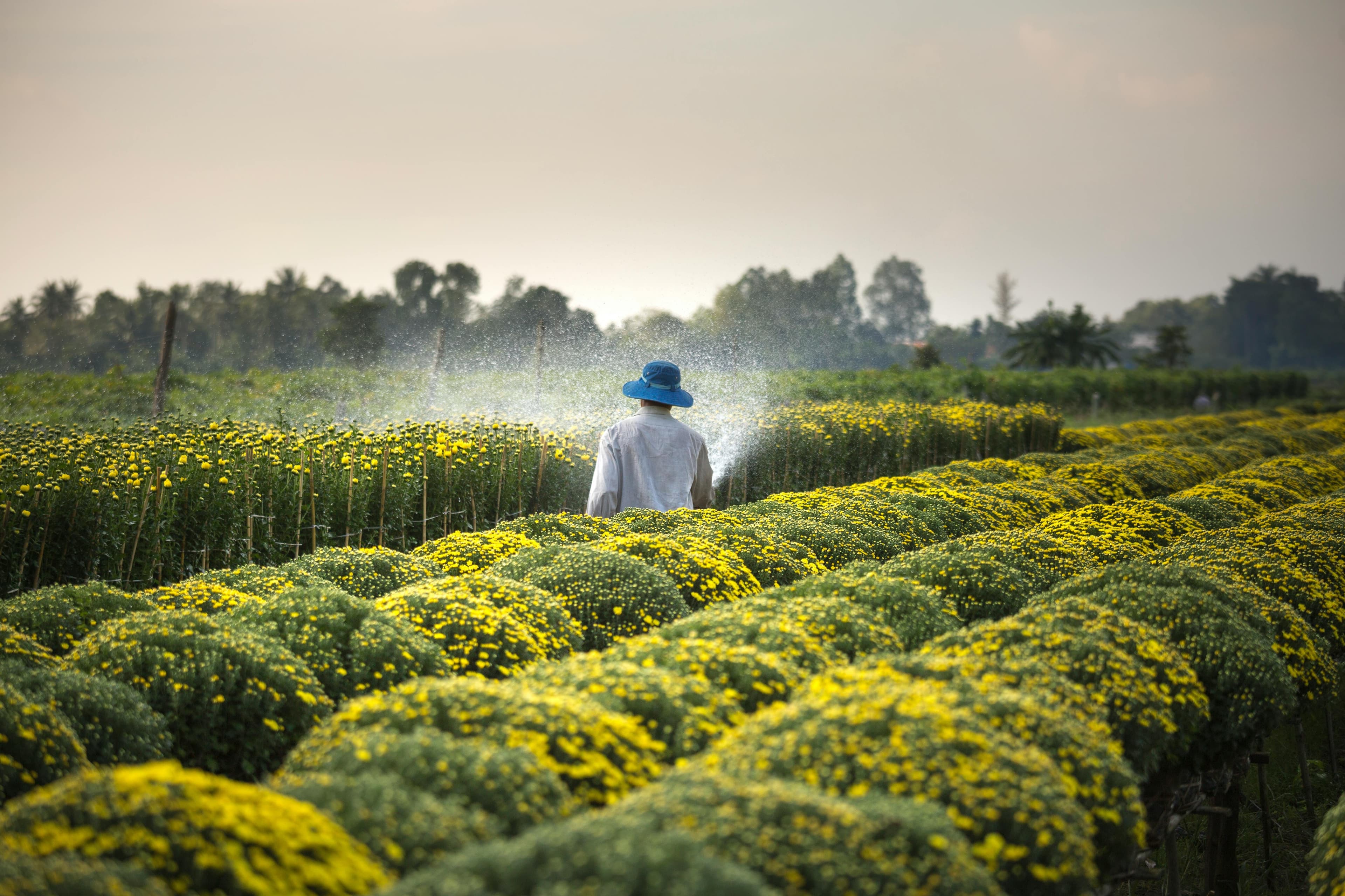
Satellite imagery has become one of agriculture’s most persuasive technologies because it offers scale. A lender, buyer, or owner can look across thousands of acres without stepping into the field.
But satellites do not see a fertilizer bag being opened, diluted, diverted, or applied to the wrong block. They see vegetation after the fact. By the time the canopy reveals a problem, the money has already leaked.
The expensive assumption is that remote visibility equals operational control. It does not. Remote sensing can identify symptoms, but it cannot certify execution.
The future is not satellite versus ground proof. It is satellite context built on verified execution. Without ground truth, the image is only a beautiful guess.
“A satellite can show the crop. It cannot certify the work.”
Related ShambaBoy SEO guides
Give supervisors mobile proof, approvals, and daily field visibility.
Learn moreTurn better methods into verifiable field execution records.
Learn moreConnect tasks, workers, plots, proof, and farm records in one system.
Learn moreAssign work, capture GPS photo proof, and approve tasks with confidence.
Learn more